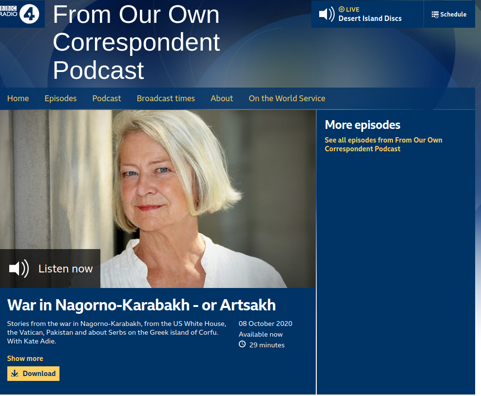
This week Jonah Fisher, Ukraine correspondent at BBC News, reported from Nagorno-Karabakh for the BBC radio programme “From Our Own Correspondent”. While fighting has sadly continued in the South Caucasus region, he highlighted how web mapping services handle the area:
But defining Nagorno-Karabakh isn’t much easier. Type it into Google Maps, you would get a wider view of the southern Caucasus, showing Armenia, Azerbaijan and northern Iran. But Google is not brave or foolish enough to try to show where Nagorno-Karabakh is, to put any lines on its online maps. And that’s because it’s inside what the world and international laws recognize as being Azerbaijan.
The territory inhabited and run by ethnic Armenians, but officially still part of Azerbaijan is one of the many partially recognized states or disputed territories that are handle by large online providers and web mapping services simply hiding their borders and information.
Furthermore, it is a good example of a disputed name and countries and territories that change their name. As Jonas Fisher reported:
If you have never heard of it before, don’t worry and don’t reach for the map either. You won’t find it. Not a single country in the entire world recognize Artsakh as an independent state (…) You are more likely to have heard of Nagorno-Karabakh. That’s Artsakh old name and the one most of the world still uses. They changed it to the anciant name of Artsakh 3 years ago.
You can listen to the episode on BBC Sounds. More on the Nagorno-Karabakh or Republic of Artsakh on Wikipedia. And finally a video on how Google Maps handles disputed territories
Feature image by Ruslan Valeev on Unsplash